
GPS satellites carry atomic clocks. The receiver in your pocket can use their timing signals without carrying an atomic clock of its own.
GPS measures distance through the travel time of radio signals. If a satellite says when its signal left, the receiver must know when it arrived. A clock that is even slightly wrong makes the journey appear longer or shorter than it was.
Yet an ordinary GPS receiver can calculate a position without first possessing the correct time. It estimates its clock error along with its location. This is why the usual explanation needs four satellites, even though space has only three dimensions.
A distance with an extra term
GPS satellites broadcast signals that carry timing information and data from which a receiver can calculate where the satellites were when those signals were sent. Radio waves travel at the speed of light in a vacuum. Combine a travel time with that speed and you have a distance.
Ordinary GPS positioning is one-way reception. The receiver listens to broadcasts and calculates its position without telling the satellites where it is. A navigation app may separately exchange information over a network, but that is another part of the service.
The departure time comes from the satellite system, while the arrival time is registered by the receiver's local clock. Subtracting those two readings does not give a pure travel time unless their clocks agree.
Suppose the receiver's clock is ahead. Each signal appears to have taken too long to arrive, so each calculated distance is too large. A clock that is behind has the opposite effect. At a given measurement instant, the receiver's offset affects all of these apparent distances together.
Engineers call the resulting measurement a pseudorange because it contains more than the geometric separation between satellite and receiver. Receiver clock error is one term, alongside satellite clock corrections, atmospheric delays and other effects that the calculation must address.
Its own clock may be wrong, but that error is shared across the simultaneous measurements. It does not have to invent a different correction for every satellite.
Four measurements, one solution
A receiver trying to find its unrestricted position in three dimensions has three spatial quantities to determine. Add its clock offset and there are four unknowns. With useful measurements from at least four GPS satellites, and a suitable arrangement of satellites in the sky, it can solve for them together.
This is a joint calculation. Three satellites do not finish the position while a fourth, assigned to timekeeping duty, tidies up the clock. Each measurement helps constrain the same set of unknowns.
Changing a guessed receiver position changes the predicted distances to satellites in different directions. Changing the receiver's clock offset adds the same timing contribution to every measurement. The calculation searches for a position and an offset that make the predicted observations agree with the received ones, after the other modelled corrections have been applied.
Navipedia, hosted by the European Space Agency, describes one standard approach. Starting from an approximate position, the calculation compares the predicted observations with the received ones and estimates corrections to both the coordinates and clock offset. It then repeats the process with the improved estimate. The receiver does not need to be handed its final position or perfectly synchronized time before this process can begin.
Four is the conventional minimum for this four-unknown problem, rather than a guarantee that any four visible satellites will produce a good result. Their geometry matters. With additional usable measurements, the calculation can fit more observations than it has unknowns. Navipedia describes doing this through a least-squares adjustment, which finds a best fit when imperfect measurements cannot all agree exactly.
Real navigation devices can also combine different satellite systems, sensors and other information, each with its own models and assumptions. In the basic GPS calculation, enough independent observations let the receiver estimate the clock error instead of requiring an atomic clock of its own.
The clocks in orbit still matter
Solving for the receiver's offset does not make accurate satellite time optional. The shared error belongs to the receiver. If different satellite clocks have different unaccounted errors, one common receiver correction cannot simply erase them all.

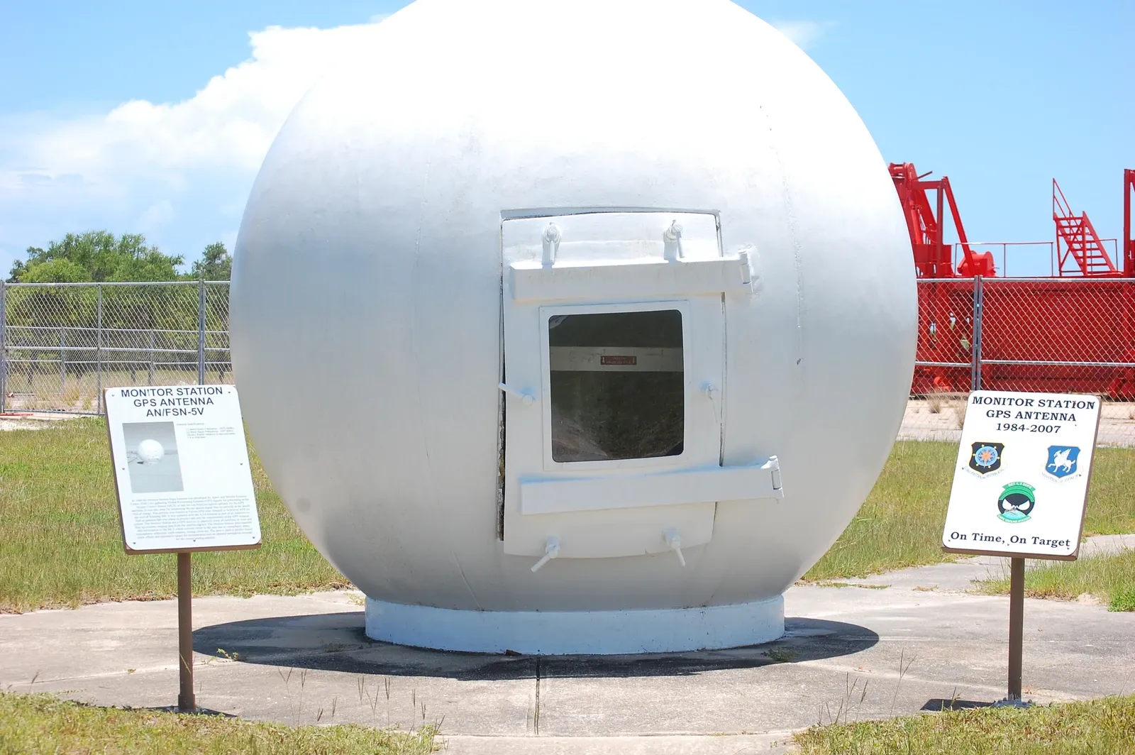
The satellites therefore operate within a time system that is maintained from the ground. Monitor stations track their transmissions and collect observations. The control system uses those observations to calculate satellite positions and prepare navigation messages, which ground antennas upload to the constellation. The receiver depends on that information when it interprets what arrives.
Clocks in orbit and clocks on the ground do not naturally run at identical rates. Relative motion and differences in gravitational potential affect their rates. GPS accounts for these effects, including a fixed satellite clock-rate adjustment and corrections associated with the shape of the orbit. Marc Weiss and Neil Ashby’s account of GPS receivers and relativity explains how these requirements enter the system.
The receiver can estimate its own offset within this maintained system of satellite timing and orbit information.
The same broadcasts also make GPS useful as a time service. Specialized receivers can provide shared timing for communications networks and other infrastructure. Their performance conditions should not be confused with a promise about the clock displayed on every phone.
Why the dot can still be wrong
Atmospheric delays and reflected signals remain separate problems. A building can block a direct signal, or reflect it along a longer path before it reaches the antenna. These effects differ between signals and locations, so they cannot all be treated as the receiver's one shared clock offset. GPS.gov lists satellite geometry, atmospheric conditions, obstructions, reflections and receiver design among the factors that affect the position a user obtains.

After the receiver has calculated its coordinates, software places them on a separately produced road map. That map supplies the roads, addresses and other information used to offer directions. An incorrectly drawn road or misplaced business can cause trouble even when the satellite positioning hardware is working properly. Better clocks will not move a restaurant to its correct address in a faulty database.







.jpg)


.jpg?ref=theroloway.org)
